
Surveying and Mapping Laboratory
In this laboratory, a practical unit of surveying and mapping is held and the equipment needed to perform mapping and surveying the area is available in this laboratory, the most important equipment of which is as follows:
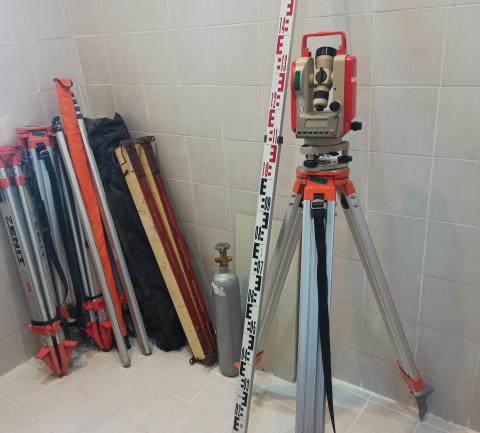
| Theodolite Mapping Camera | Horizontal and vertical data collection in mapping |
| Nivoa Mapping camera | Horizontal data collection in mapping |
| Manual tilt gauge | Determine the angle of different points relative to the horizon |
| Digital Planimeter | Determine the actual area of the map on the ground |
| Manual Planimeter | Determine the actual area of the map on the ground |
| Metal Jalon | Mark and create a direction in the mapping |
| Camera Tripod | To deploy a mapping camera |
| Mapping scale | To measure height and distance |
| Tape meter (50 meters) | To measure distance and height |
© Persian Gulf University